Creation Field Trip
On Saturday, August 3, 2024, Steve Varro led a field trip to Camas Prairie in the southwestern part of the Lower Flathead Valley to see the Giant Ripples as well as several other sites along the way. Including Rainbow Lake, the Paradise Center Museum, the Bison Range, and the Polson Terminal Moraine. Steve taught a class on ‘Creation vs Evolution’ at Journey Church which sparked an interest among his students to learn more about God’s Creation.
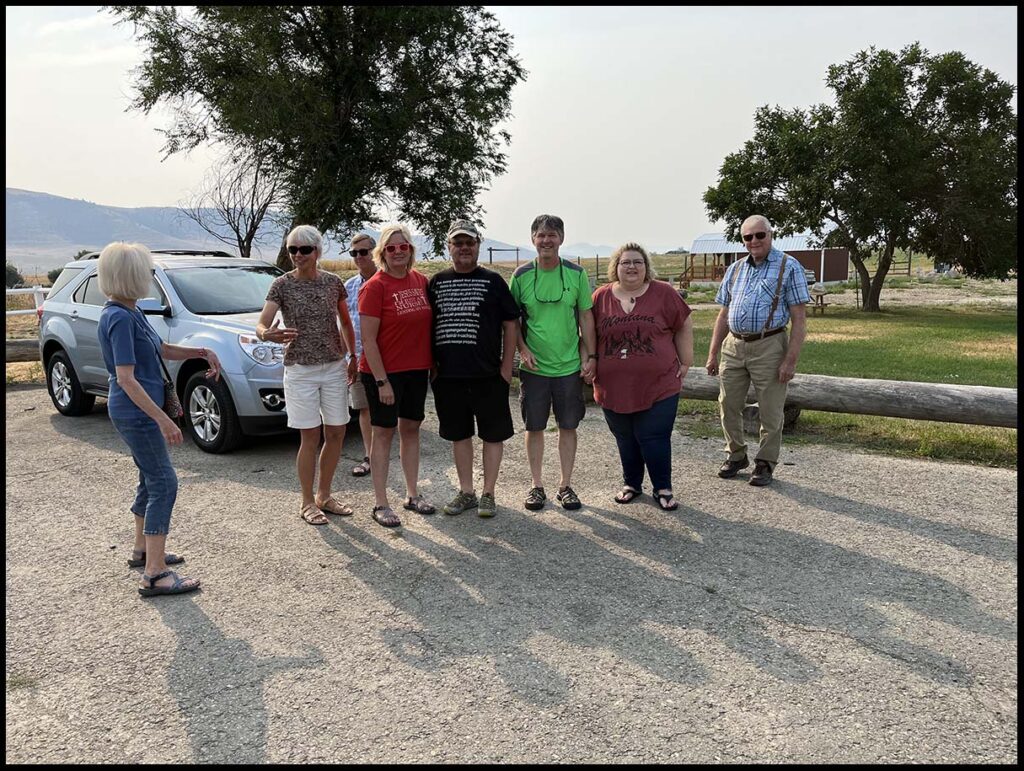
Gathering together at Lonepine, MT for fuel and snacks.
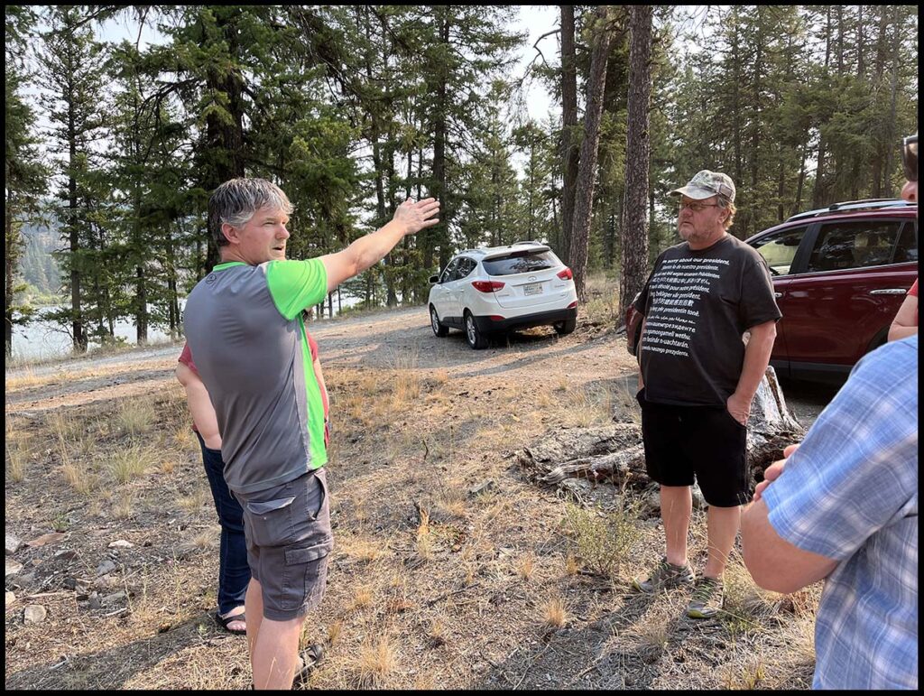
Rainbow Lake
Our first stop was at Rainbow Lake which is at the confluence of two valleys, one from the north and another from the northeast. The massive amount of water that flowed through these valleys’ during the Lake Missoula floods, scoured out Rainbow Lake and left large gravel bars beyond the lake.
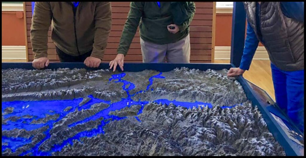
The Paradise Center
The Paradise Center museum a 3 D lighted map of Lake Missoula and a lot of material gathered about the ancient Glacial Lake Missoula. This museum was a highlight of our trip.
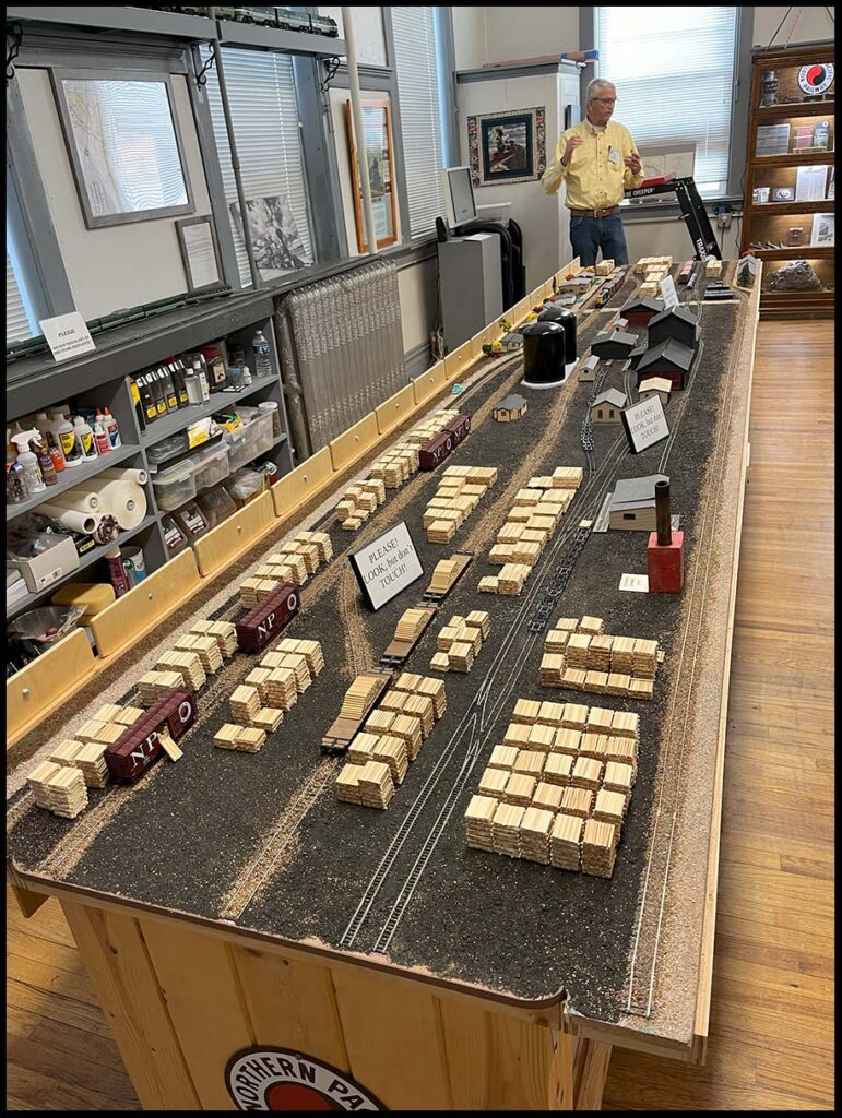
The Paradise Center
The Paradise Center museum volunteers have built a great layout of the railroad cross ties manufacturing plant. This plant stretched about one mile northwest along the Clark Fork River in the late 1800s. The railroads required about 3,000 cross ties per mile and this plant supplied almost all the cross ties for all of the western railroads. The closest cross tie plant at that time was in Minnesota.
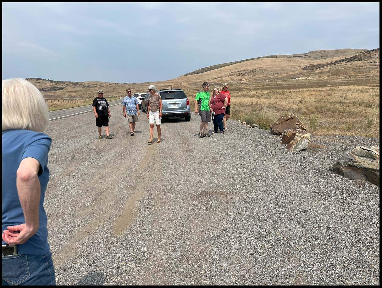
Glacial Lake Missoula National Natural Landmark
Steve Varro (green shirt) at the National Natural Landmark to see the Giant Ripples which were formed by currents associated with the colossal emptying of Glacial Lake Missoula. We see these ripples in streams that are inches high and mainly of sand, some of these giant ripples are thousands of feet long and as much as 45 feet high composed of boulder-sized geologic debris.
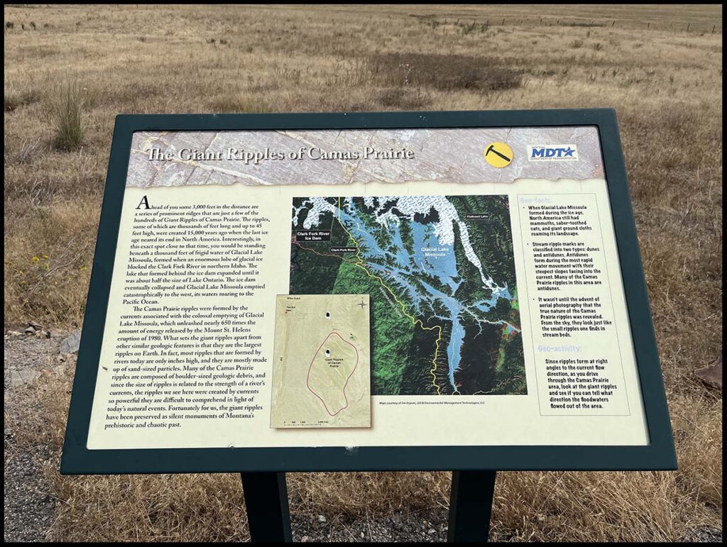
The Giant Ripples of Camas Prairie
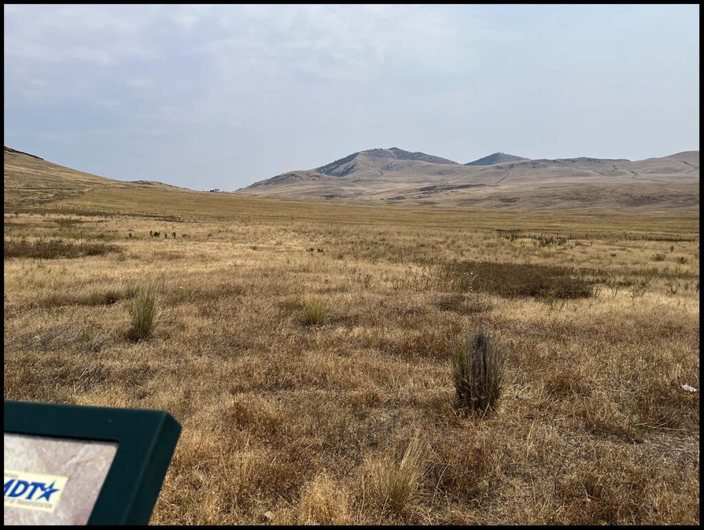
Sign showing the location of the Camas Prairie and explaining Lake Missoula.
Camas Prairie
Cell phone photos don’t do justice to the landforms visible in this area. Standing there, we could see Giant Ripples much more clearly. Many ripples could be seen along highway 382 between Camas Prairie and the town of Perma. As a bonus we spotted a Black Bear with Cubs along this highway.
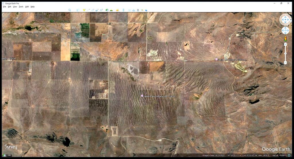
Giant Ripples on Google Earth
This view as seen on Google Earth is about 7 miles wide and 3 1/2 miles high showing the scope of the Camas Prairie. These Giant Ripples are seen here from an altitude of 43,000 feet (about 8 miles high).
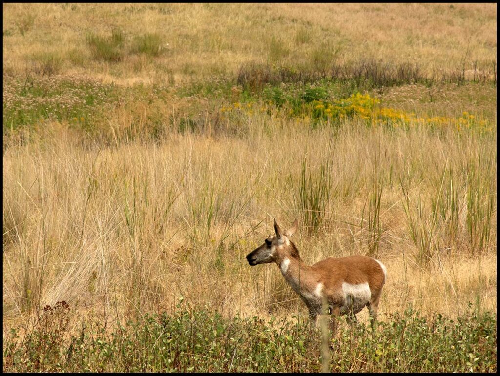
Pronghorn Antelope at the Bison Range
We continued on from the Camas Prairie to the Bison Range and watched the wildlife as we went up to the top of the Range to overlook the Lower Flathead Valley.
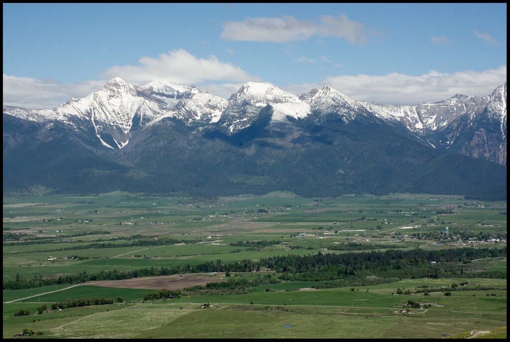
Mission Mountains
Looking across the Lower Flathead Valley at the Mission Mountains. During the time of Lake Missoula, the water between us and the mountains would have been about 1,000 feet deep. The St. Ignatius water tower (light blue) is in the lower right of the photo.
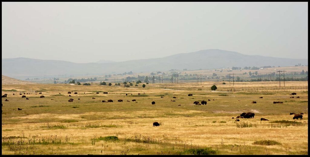
Bison on the Range
A small herd of Bison were brought here when the Bison were almost extinct. By careful management, they were able to increase the numbers and greatly responsible for the Bison to continue to survive.
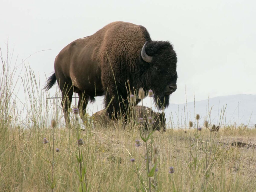
A great bull Bison
The Bison on the Range appear to be extremely healthy. We have seen many in other areas the are not nearly as healthy as these.
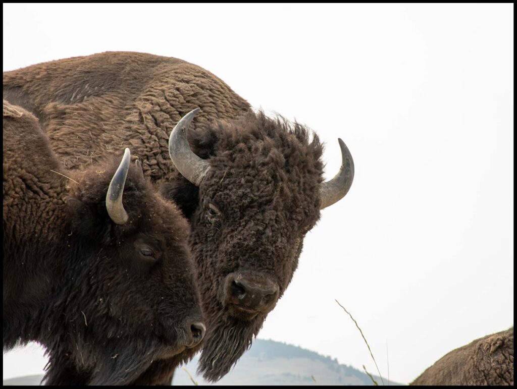
American Bison
“How is your day going?”
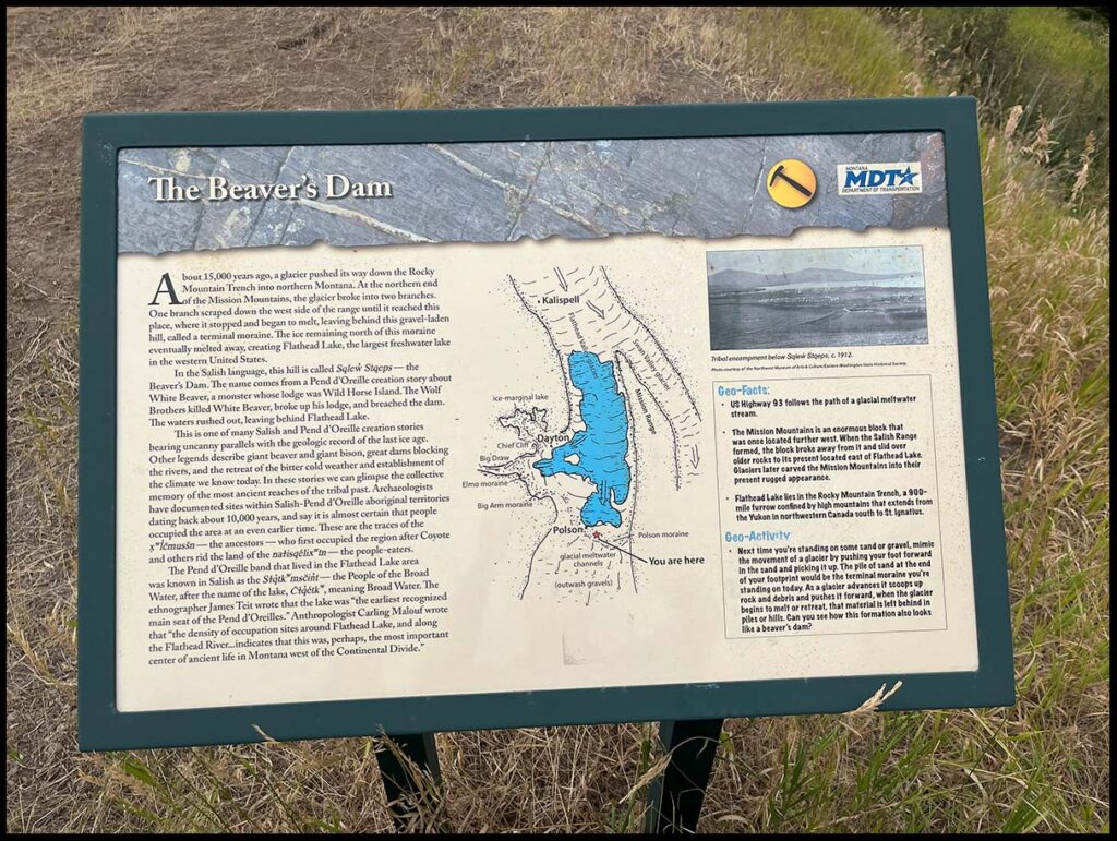
The Beaver’s Dam
Our last stop was at the Polson Terminal Moraine. This is an interesting place overlooking Flathead Lake to the north.
Worship Service: Sunday’s @ 10:00am
5091 US Hwy 2, Columbia Falls MT, 59912
Phone: (406)-249-8662
Mailing Address: PO Box 537 Columbia Falls MT 59912
